There is a lot of raw lands available for land development in Texas, especially when looking to the west and northwest on the outskirts of the state's more populated and developed towns and cities.
In more rural areas that are beyond city limits, viewing, accessing, and then bringing in excavation services can be more challenging than doing so in areas closer to what is already developed.
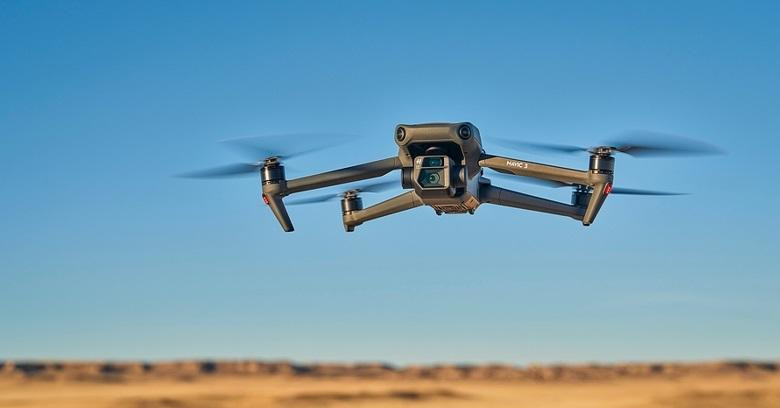
One way to find land and develop it to its fullest potential is with drones.
Drone Technology Improving the Land Development Process
The use of drones in the land development and construction industries is growing by the day as more and more contractors are realizing how helpful they are.
For viewing raw land, drones with cameras are able to fly places that would otherwise be impossible to reach.
They are also extremely versatile for surveying development plots, surveying raw land, and monitoring clearing excavation services and other development activities.
Offering a bird’s eye view of the entire scene and with the ability to fly in low for more detailed looks, drone technology is making the development of raw land safer, easier, and more profitable for contractors, project owners, and everyone else involved.
How Do Drones Benefit Land Development?
There are quite a few benefits to using drones for land development projects, from start to finish:
- Faster - Drones make ground mapping, project monitoring, and many other tasks much faster than using any other method. With the availability of more accurate land surveying software that can interpret aerial imagery transmitted from drones and generate necessary data from it, development companies no longer need to physically survey large plots of land as this can all be done using drone footage.
- Easier Access - Flying overhead, drones are able to capture views of even the most remote locations without the need to actually drive to those areas. This is especially useful for viewing hard or impossible-to-reach spots and even recording great promotional videos.
- Safer - By eliminating the need to actually navigate land development areas on foot or other ways, drone viewing increases the safety of inspecting raw land and monitoring projects where excavation services and other crews are at work.
- More Cost-Effective - Based on all of the above benefits, using drones in the various stages of land viewing and development makes all of these steps in the land development process more cost-effective for even the smallest excavation service and construction contractors.
Drones Are An Essential Tool for Developing Raw Land in Texas
With so much raw land available for land development in Texas, finding the best plot to build on or even offer land for sale can be more easily accomplished using a drone.
Before starting another project, every contracting company should look into using drones to make the work easier and more economical!
About
Land development contractors and excavation services such as those with JWhit Construction can simplify their projects, reduce costs, monitor work progress, and stay safer using this important and easily accessed technology.
When needing a residential or commercial land development company for an important project, trust the work ethic of JWhit Construction for any large or small land development plans – call (832) 230-2710 right away!